We set out form the historical town of Ribadavia, a place of noble past, located on a natural hill and overlooking the Avia and Miño rivers. Ribadavia preserves a very interesting old town with medieval architecture. The
an old trail, towards beade and San Clodio Monastery, and the end of this stage in
Section 1: Ribadavia - Beade
- Length: 5,5 Km.
- Difficulty: Medium
- Estimated time: 1 h. 12 min.
After visiting the old town of Ribadavia, we leave through the old entrance in Herreros street (calle de los Herreros) towards San Cristovo de Regodeigón along the royal path. 600 metres into the road we take a turning to arrive at the medieval bridge of
A Veronza, from where we will follow the right side of the river of Avia until we reach another turning which brings us to
San Cristovo wayside shrine. From there we take the asphalt road heading north, an old royal track, known nowadays as Congostra, which brings us to the chapel of Compasión (Compassion), right after passing a medieval hermitage (included in Galician heritage inventory). From there the path continues in a high altitude to arrive in the old town of Beade.
Section 2: Beade - San Clodio
- Length: 5,5 Km.
- Difficulty: Medium
- Estimated time: 1 h. 12 min.
We leave
Beade, made of narrow streets and important winery facilities, and whose medieval configuration still remains clear. When crossing the center of the village heading north, we arrive at Saint Roque chapel, and from there to a parish church and rectory, old headquarters of
Encomienda de Beade. From there we continue our walk along an asphalt road (
an old royal path from Bieite [Vieite] to Beade) going north to arrive at the village of
Bieite (Vieite). We go up the street that leads to the parish church and we continue towards the higher part of the village. There we take a turning north, walking along a path with both dirt and paved parts, surrounded by vineyards. It will take us to the abandoned village of
Ibedo, from where we will follow an old royal track, situated between walls and 4 meters wide, though it opens up a bit at some points along the way. Once we arrive at the village of
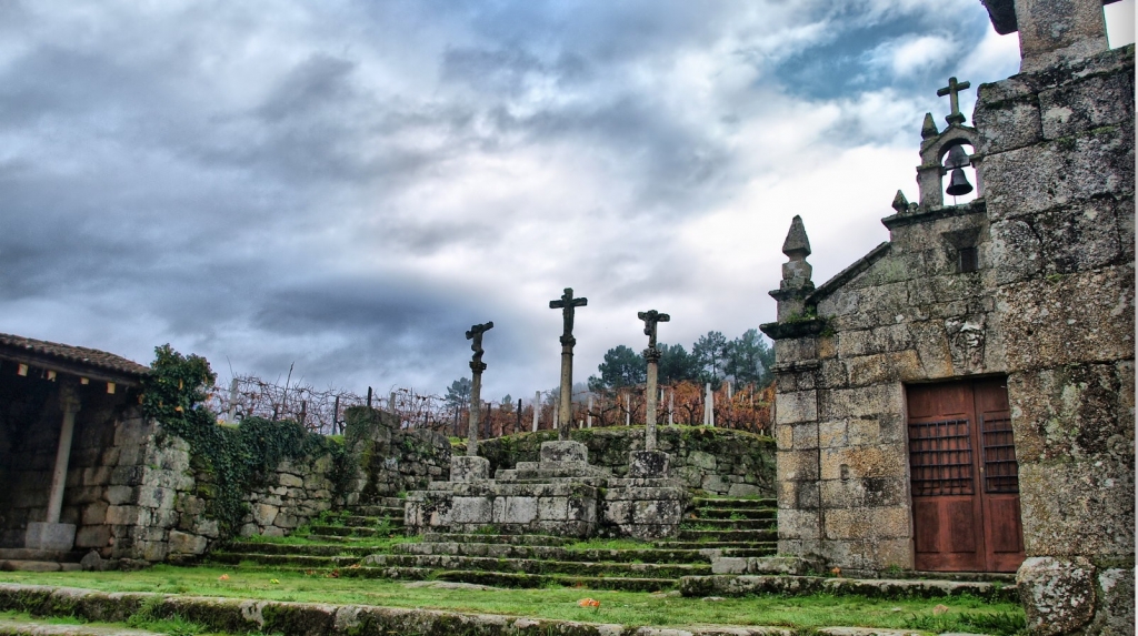
Barzamedelle we start descending towards a 17th century crucifix before reaching San Clodio bridge, which was constructed in the 15th century. After we cross the bridge, we will be passing through
A Ponte, with San Antón chapel and following the royal track we arrive at
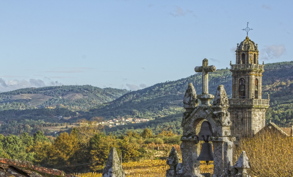
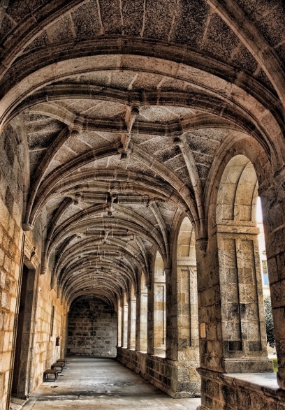
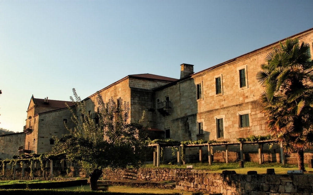
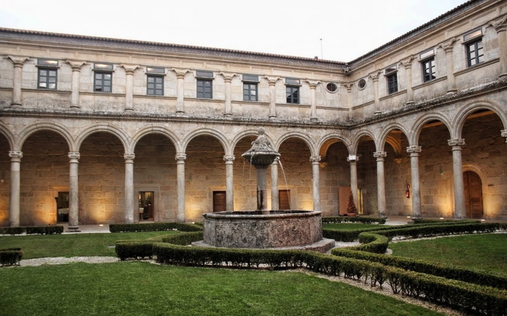
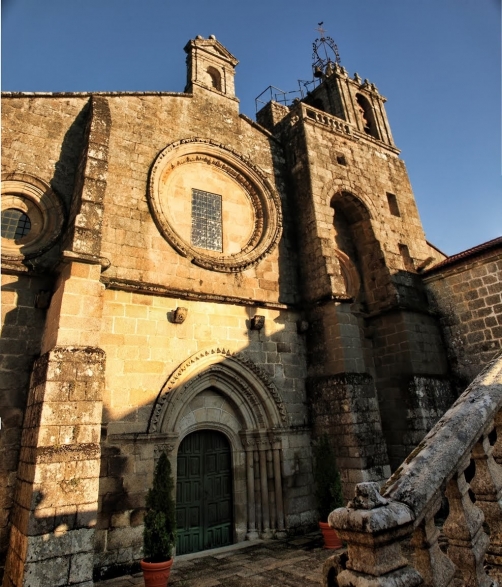
Saint Clodio Monastery.
Section 3: San Clodio - Pazos de Arenteiro
- Length: 8,7 Km.
- Difficulty: Medium
- Estimated time: 1 h. 53 min.
The route continues through
Esperela and
Cubilledo area until
Gomariz parish church, built in the 12th century and
Gomariz farm - a medieval cellar with romanesque decoration, mentioned in the old scriptures from the 12th century. From that spot the path heads to
Fonteantiga (the municipality of O Carballiño) a toponym which refers to an ancient well, used along another micro-toponym Mesón, meant for an old building that used host and feed groups of wine carriers, called here
arrieiros do viño.
From
Fonteantiga we take a concrete crossing (there used to be a stone bridge here but it collapsed due to strong current) and continue along the path among vineyards, arriving at the abandoned village of
Barón Pequeno, where a historical cellar is located, which, according to the old documents, might have been part of
Acibeiro monastery. At the entrance of the cellar there is a scallop shell (on the left-hand side) and a decorative border (right-hand side) from the 16th century.
Then we continue walking surrounded by vineyards to
Viñoá crucifix and from there to another crucifix, located very close to Santa Baia de Banga church, which holds inside three
stone images of St James the Pilgrim; one is in the center of the arc over the entrance to the chapel, inside which a member of the Sarmiento house is buried. The dirt road that follows (modifying the width and top layer of the old path) takes us to
Cima de Vila, which holds Roman remains of a plausible
villaea and
several historical cellars of various monasteries. We take a path downhill, located between walls and stone-paved, with width of only 3 meters, which will take us to
Cabanelas, with several
historical cellars owned by some monasteries and the
Order of Santo Sepulcro and
three old buildings with scallop shells at the entrance and façades, similar to those found in
Barón Pequeno village.
We leave the village behind taking another narrow path between walls and stone paved , this time only 2.5 m wide, with sidings, which runs among abandoned vineyard terraces. We arrive at
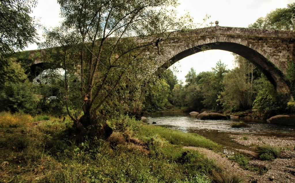
Santo Sepulcro bridge in Pazos de Arenteiro. It is of mediaeval origin and it has a walker image sculpted in the middle of the central arc of the bridge, which could be the image of Santiago the Pilgrim. Once we cross the bridge we enter
Pazos de Arenteiro along a paved road (a protected medieval track). This village, declared as
Protected Historical and Artistic Heritage, boasts a romanesque church from the 12th century, the
Encomenda de Pazos de Arenteiro building (which used to serve as hospitality center) and several big buildings called
Pazos, making this beautiful village a very important spot in mediaeval and modern times.