Cortegada
Meréns
Arnoia
Ribadavia
This part leads again through cork oak, oak and pine woods, which will accompany us along this stage. The nature will surprise us, and so will the small villages like
San Bieito, where we will be able to see a chapel, and the "humilladoiro" of
Meréns. We continue along
Miño river, which ill take us to
Arnoia and finally
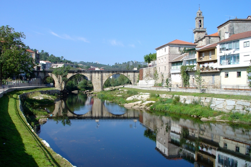
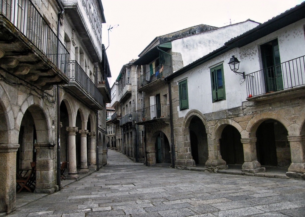
Ribadavia -
the ancient capital of the kingdom of Galicia.
Section 1: Cortegada - Meréns
- Length: 3,60 Km.
- Difficulty: Low
- Estimated time: 0 h. 47 min.
The asphalt road to the right will take us to the church of
San Bieito (San Benito), after we walk past a place called
Os Muíños. From there we continue north, along the main road, until we almost get to
Meréns, Then we go uphill, past a wayside shrine and a manor house, and then to a parish church, where an ancient Roman milestone can be found. We turn right and continue uphill, across the village. Once it is behind us, we take a dirt road between walls, which is only 3 m wide and has some paved parts, until we reach another path, also dirt, but much wider.
Section 2: Meréns - Arnoia
- Length: 4 Km.
- Difficulty: Low
- Estimated time: 0 h. 52 min.
From
Meréns the route follows a dirt road until the village of
Lapela e Remil (Arnoia), where we take a paved 3-meter-wide path, placed between walls, which will take us to
Stepping stones across the Arnoia river, near the manor house or the monastery of Celanova and the parish church S. Salvador (The Saviour).
Section 3: Arnoia - Ribadavia
- Length: 5,50 Km.
- Difficulty: Low
- Estimated time: 1 h. 12 min.
The route leads uphill through the old town of
Paixón y Sendín, where two ancient Roman milestones had been found, and which are currently displayed in the archaeological Museum of Ourense. Next we head to the chapel of
St Amaro (yet another one dedicated to this saint, who is in service of helping and curing the pilgrims and the sick). From there we continue along an asphalt road to
A Porqueira (a beautiful wayside shrine) and then to a village of
Reza, used to be known in the old times for a ferry connection to Francelos on the other side of the Miño river. From there the route used to continue to Ribadavia. Nowadays, however, the trail continues along an asphalt road to a modern bridge across Miño. There we enter the municipality of
Ribadavia and walk on until we reach a pedestrian bridge that snaps the Avia river and leads into the town of Ribadavia through la Puerta Nueva (The New Entrance).
Photo gallery:
Downloads:
Links: